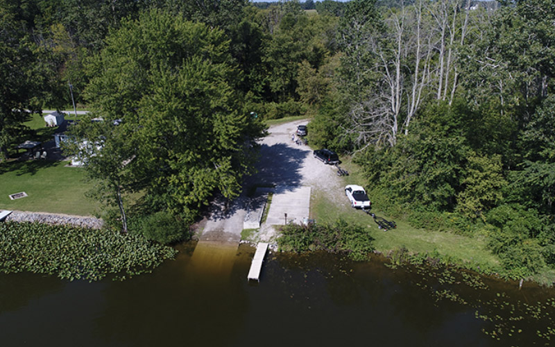
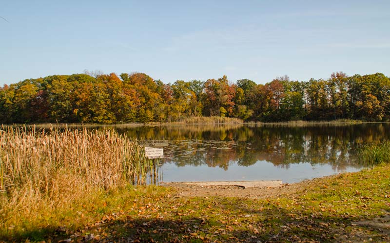
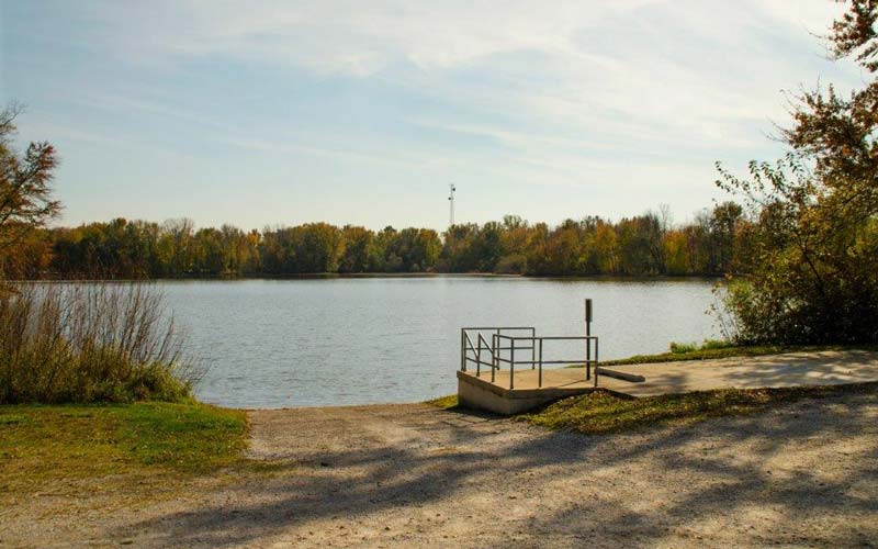
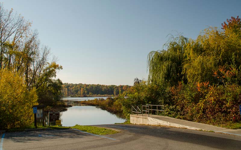
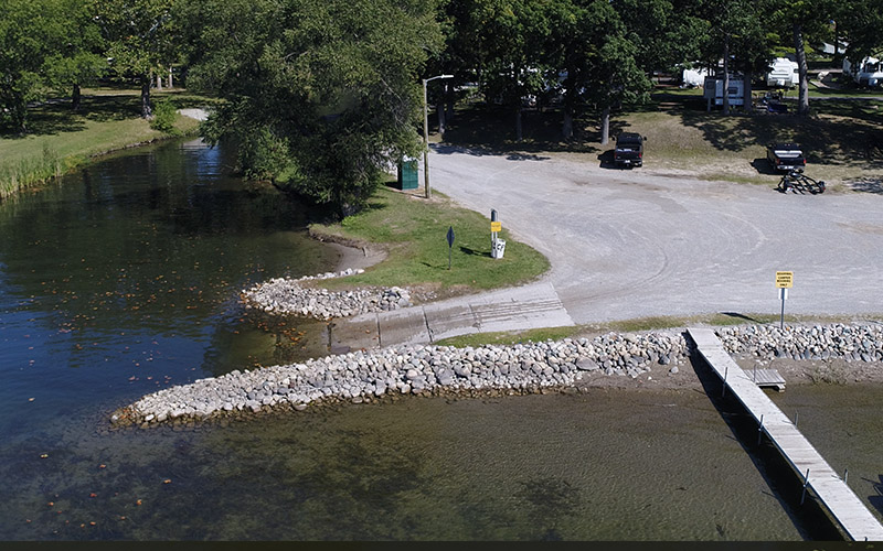
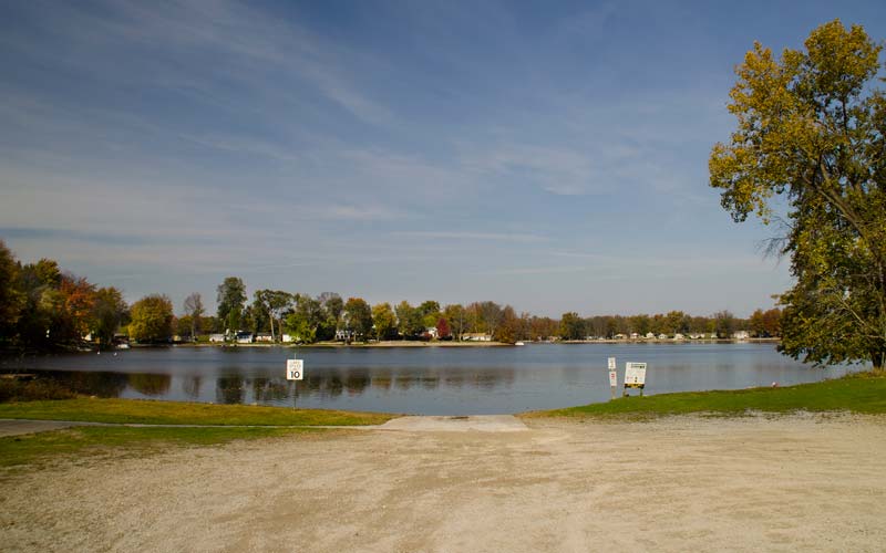
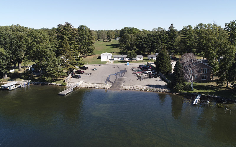
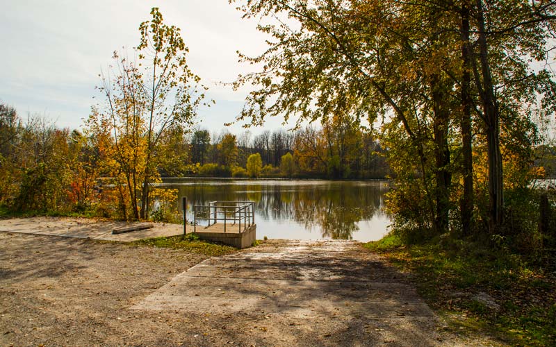
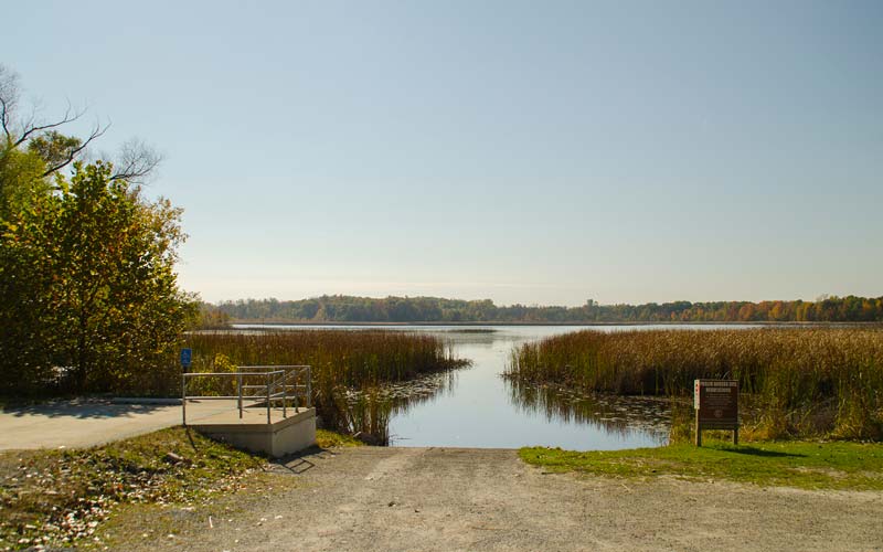
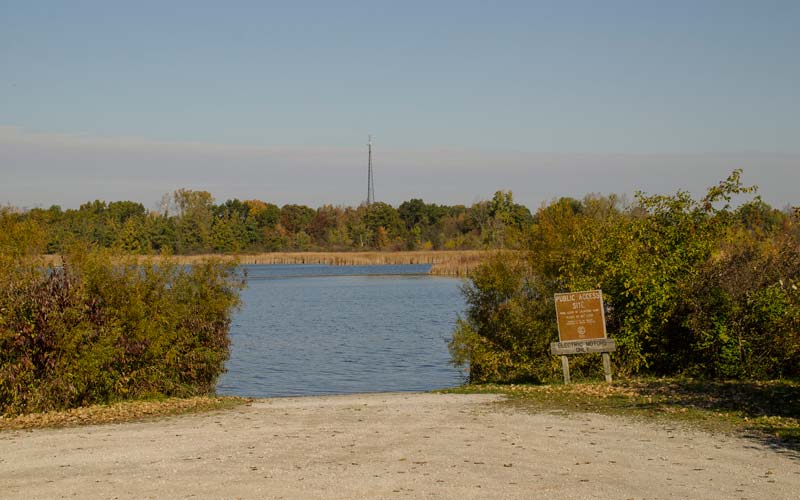
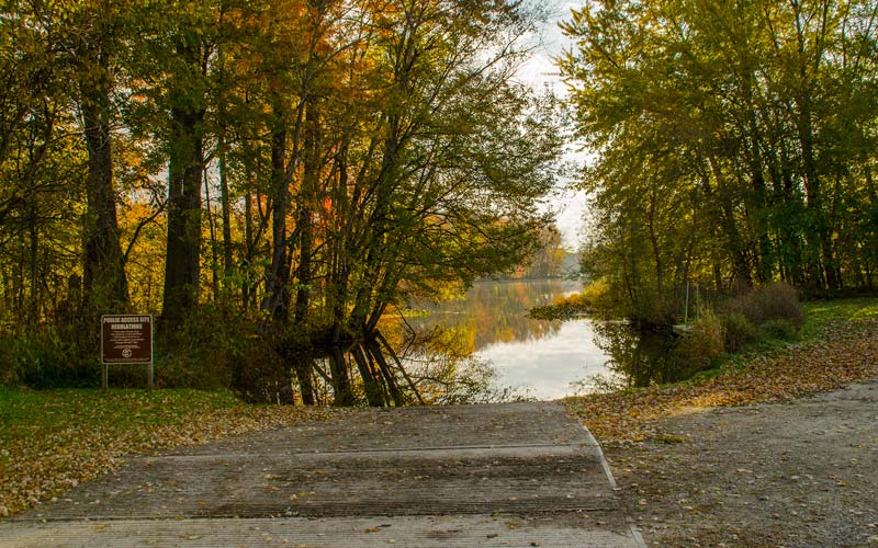
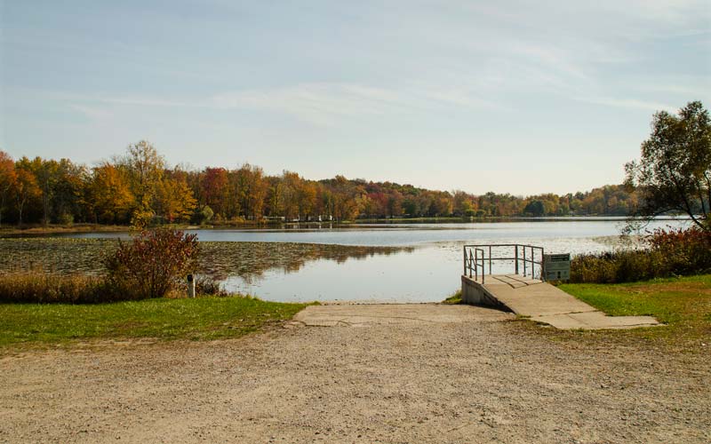
Public Access Sites
All directions are from the Soldiers’ Monument in downtown Angola.
For longitude/latitude coordinates for these public access sites, visit http://www.in.gov/dnr/fishwild/3591.htm
Download the Public Access Page
Google Map Links
Driving Directions

Ball Lake
Old 27 South to County Road 800 South; head east 2.5 miles, then 1.5 miles north on County Road 175 East – Driving Directions
Beaver Dam Lake
U.S. Highway 20 West to State Road 327; north to County Road 350 North. – Driving Directions
Big Bower Lake
U.S. Highway 20 West to County Road 300 West; south to Golden Lake Road – Driving Directions
Big Otter Lake/Snow Lake/Lake James
State Road 127 North to State Road 120; west half mile. – Driving Directions
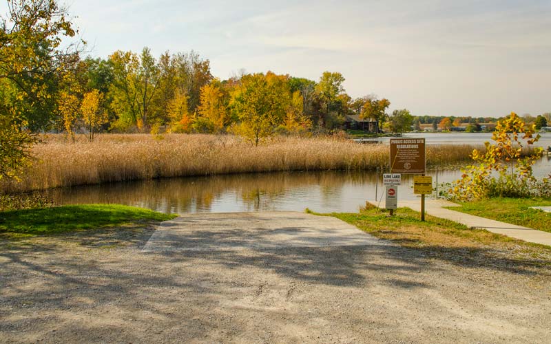
Clear Lake
U.S. Highway 20 East to Williams Street (State Road 827). North to State Road 120; east to County Road 850 East. Driving Directions
Crooked Lake
U.S. Highway 20 West to Gerald Lett Ave. (County Road 200 West.) North two miles. – Driving Directions
Fish Lake
U.S. Highway 20 East to Williams Street (State Road 827). North to Fremont Road then follow County Road 325 East. Driving Directions
Fox Lake
U.S. Highway 20 West to Fox Lake Road. Driving Directions
Lake Gage
U.S. Highway 20 West to Gerald Lett Ave. Turn north onto Orland Road. Driving Directions
Golden Lake
U.S. Highway 20 West then south to Golden Lake Road. Driving Directions
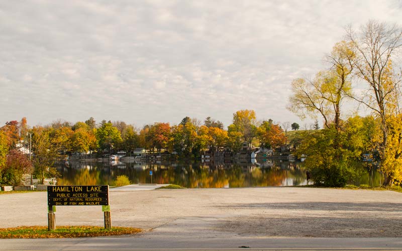
Hamilton Lake
U.S. Highway 20 East to State Road 1. Driving Directions
Lake James Chain
U.S. 20 West to Gerald Lett Ave. Turn north to County Road 300 West. Turn north to Nevada Mills Road to LN 340A Jimmerson Lake. – Driving Directions
Little Turkey Lake
U.S. Highway 20 West to Interstate 69 South to State Road 4. West to County Road 750 West. Driving Directions
Loon Lake
U.S. Highway 20 to Gerald Lett Ave. (County Road 200 West.) North to County Road 100 North. – Driving Directions
Marsh Lake
State Road 127 North to County Road 50 West then east on Feather Valley Road – Driving Directions
Pigeon Lake
U.S. Highway 20 East to County Road 200 East; turn north .75 mile
West Otter Lake
U.S. Highway 20 West to West Otter Lake Driving Directions